Renewables
R
S3/SG VENTURE
Survey Services For Renewables
Who we Are
S3 Arizona and Synergy Geomatics Joined forces to deliver the most experienced land survey, construction staking, and mapping firm in the renewables industry. S3 Arizona has been on hundreds of solar project across the United States delivering construction staking, topographic mapping, and post calculations. Synergy Geomatics has completed some of the largest topographic mapping survey grade projects in the world.
Services Provided
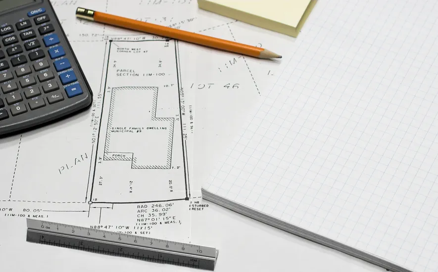
ALTA and Boundary survey for Solar
Due Diligence Topo's for Solar
Survey Grade Topographic Surveys for Solar
Interim Topo's for Solar
Post Calculations for Solar
Construction Staking for Solar
Our Experience
Since its establishment in 2008, S3 has been actively engaged in the planning, design, and implementation of solar energy facilities. With a track record spanning over a decade, S3 has demonstrated expertise in conducting comprehensive topography surveys and precise construction staking services for both solar installations and substations on a national scale. Our portfolio encompasses projects of varying scales, ranging from expansive tracts spanning 7000 acres to more modest sites comprising only a few hundred acres. Additionally, our proficiency extends to the post-calculation phase, wherein we have provided meticulous analysis for numerous projects.
With over thirty years’ experience in land surveying and land development, resulting in extensive technical and regulatory knowledge of land surveying, land development, construction surveying, mining surveying, right-of-way and land use issues. Synergy Geomatics LLC provides survey grade geospatial data to the civil engineering, pipeline, solar, mining and construction industries – faster, safer, at higher quality and at lower costs than traditional aerial or land survey companies. We utilize new photogrammetric methods and proprietary sensors to collect, process and deliver data that has traditionally been a bottleneck to our clients.
R
This Joint Venture Offers the Most Advanced Survey Firm Available For Solar Projects.
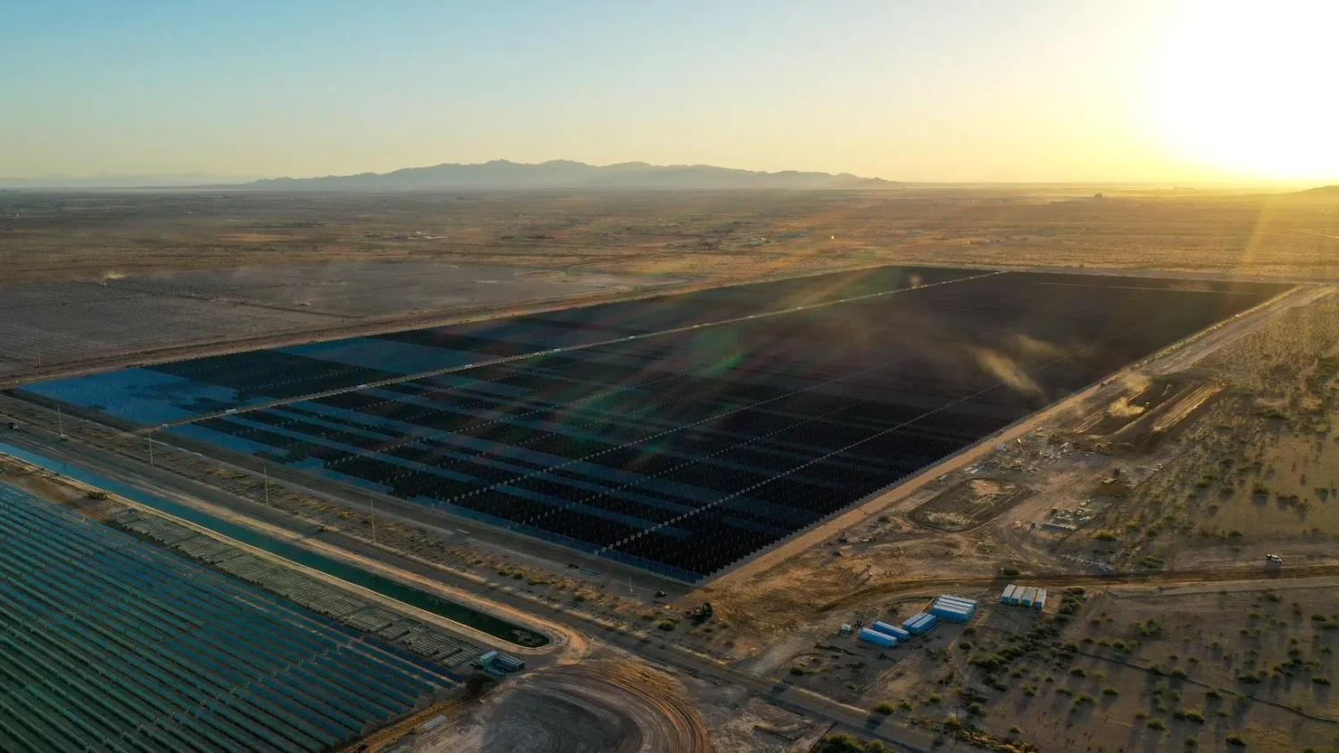
One of many S3 solar projects
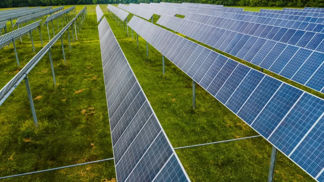
Another one of many S3 solar projects
How it Works
Lidar Topographic Survey
LiDAR survey technology has revolutionized the way we capture and analyze geospatial data. Its high precision, wide-area coverage, and ability to penetrate vegetation have made it an invaluable tool for different geographical areas.
Photogrammetry Topographic Survey
Survey photogrammetry has become an essential tool in modern land surveying and mapping. Its ability to derive accurate and detailed 3D information from photographs has made it a valuable asset for a wide range of applications, contributing to improved decision-making, planning, and development
Due Diligence Topographic Survey
By conducting due diligence topographic surveys before the construction phase, stakeholders can proceed with confidence, knowing they have a comprehensive understanding of the property's physical characteristics and associated considerations.
Post Calculations
Solar post calculations are a crucial aspect of designing and installing efficient solar panel systems. Proper calculations and engineering ensure that the solar panels are optimally positioned for maximum sunlight exposure, structural stability, and safety. By conducting thorough solar post calculations, solar system designers can create sustainable and high-performance solar installations that contribute to renewable energy generation.
Construction Staking
Properly executed construction staking contributes to efficient construction workflows, minimized errors, and ultimately leads to the successful completion of the project on time and within budget.
ALTA and Boundary Surveys
We provide accurate and reliable information that is essential for property transactions, development projects. Professional boundary surveys are essential for maintaining clear and legally valid property boundaries, promoting responsible land use, and contributing to a stable and orderly real estate market.
Why Are We The Best
Expertise Matters We Understand Renewable Energy Projects
Land surveying is a critical component of solar projects from the initial site selection to the final construction stages. It ensures that solar installations are located optimally, comply with legal requirements, and are built with safety and environmental considerations in mind. Accurate land surveying ultimately contributes to the success and sustainability of solar energy initiatives, helping us move towards a cleaner and more sustainable future.
Time management is crucial in construction or design to ensure the project is completed efficiently, within budget, and to the satisfaction of all stakeholders. Effective scheduling, resource allocation, and adherence to deadlines contribute to the success and reputation of construction companies, leading to sustained growth and profitability in the industry.
Technology has significantly enhanced the field of land surveying, empowering surveyors with powerful tools to collect, process, and analyze data more efficiently and accurately. The adoption of technology not only improves the quality of surveying results but also contributes to increased productivity and better decision-making in various renewable projects. S3 Renewables utilizes the newest technolgy advanced tools to deliver fast and accurate data to our clients
Renewables
R
Office
4615 E Warner Rd,
Gilbert, AZ 85296
480-522-6661
toddh@s3-az.com
Office Hours
Monday to Friday
8:00 am to 5:00 pm
Get Social
Tag us in your photos!